Trek Gallery
8 Days (6 days trekking)
4,970m (Shuola Pass)
Challenging (★★★★)
From $1,499 per person
~56 km
Significant (4 passes above 4,900m)
4–12 people
June – October
The Tanniantaweng trek traverses the heart of the Tanniantaweng Mountain Range at the border of Zogong and Mangkang counties in eastern Tibet’s Chamdo Prefecture. This route has earned recognition among experienced trekkers as “the ultimate hidden gem of southeast Tibet” and “a museum of highland lakes” — and for very good reason.
The entire route averages above 4,200 meters, with the highest point reaching nearly 5,000 meters at Shuola Pass. Over 6 days of trekking covering approximately 56 km, you will cross four passes above 4,900 meters and pass by nearly 20 alpine lakes — each a masterpiece of glacial erosion in shades of deep blue, turquoise, and emerald. These lakes, scattered like sapphires and jade among snow-capped peaks, are the soul of this trek. The crown jewel is Rong Cuo (揉错), a lake of pure, unwavering blue that remains constant regardless of weather or season — a geological miracle.
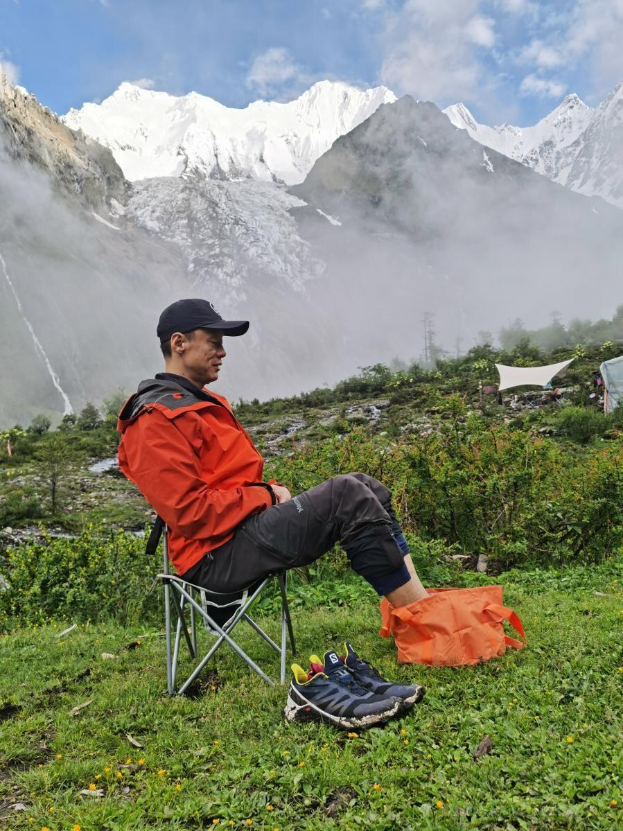
Throughout the journey, you walk alongside the majestic Damu Yong Snow Mountain (6,324m), the main peak of the Tanniantaweng range, viewing it from multiple angles across different valleys. From the shores of Wuge Qulong Cuo to the heights of the Shuola Pass viewpoint, Damu Yong presents a different face at every turn. The trek also passes through the ancient Salt Well of Yanjing — the world’s only remaining site where 1,300-year-old traditional hand-made salt production continues — and follows trails once trodden by the legendary Tea Horse Road caravans. This is an expedition for those who seek the most pristine, raw, and rewarding wilderness experience that Tibet has to offer.
Altitude: 2,400m | Trekking: None
Gather at the designated hotel in Lijiang, the famous UNESCO heritage city. Explore the ancient Naxi town freely. At 6 PM, attend the pre-trek briefing where the guide details the itinerary, safety protocols, and environmental guidelines, and inspects each member’s equipment. An essential preparation for the demanding days ahead.
Altitude: 2,400m → 3,300m → 3,450m → 2,350m | Drive: Full day | Trekking: None
A long but spectacular drive through the heart of the Three Parallel Rivers region. Pass through Shangri-La, stop at the ancient Tea Horse Road town of Benzilan for lunch, cross the Baima Snow Mountain range, and pause at Feilai Temple for panoramic views of Meili Snow Mountain. Continue north into Tibet, passing the legendary ancient salt terraces of Yanjing — where salt has been harvested by hand for over 1,300 years. Arrive at Quzika, famous for its hot springs. Optional: soak in the natural hot springs (avoid prolonged soaking to prevent aggravating altitude effects).
Altitude: 2,350m → 3,500m → 4,400m | Trekking: 7 km, ~4h | Ascent: ~900m
After visiting the ancient salt terraces, drive to Lagang Village — the trek starting point. Hand luggage to mule teams and set off with light daypacks. Follow a farm road before entering mountain trails along a rushing stream. The gradient steepens steadily as you pass Dingzi Cuo — a crystal-clear alpine pool — then navigate a long, massive scree slope to reach Cuolai Pasture with its twin waterfalls. Continue along the stream to Yizibeng Camp, a wide meadow with abundant water and simple wooden shelters. Important: Ascend slowly on this first trekking day. The starting altitude is already high. Monitor your body closely for altitude symptoms.
Altitude: 4,400m → 4,550m → 4,900m → 4,350m | Trekking: 10 km, ~6–7h | Ascent: 500m / Descent: 550m
A major challenge day. Trek along the gravel riverbed, then ascend to Jiami Cuo — a stunning set of three interconnected lakes of varying sizes and colors, their hues shifting with light like “psychedelic gradient greens” against dark peaks. Continue climbing to Gongla Pass at 4,900m, where prayer flags flutter between towering stone peaks like a giant gate. Descend steeply through a dramatic valley with a waterfall plunging hundreds of meters to your left. Arrive at Qietan Pasture — whose Tibetan name means “where marmots permanently live.” The grassland is honeycombed with marmot burrows (the shy residents are plentiful but elusive). Caution: Watch for loose rocks on the scree slopes; maintain safe distance from teammates ahead.
Altitude: 4,350m → 4,200m → 4,400m | Trekking: 10 km, ~5–6h | Ascent: 400m / Descent: 350m
A day of varied beauty. Follow a river through alternating meadows and ancient forests. Pass the large, serene Danmala Ding Cuo lake — perfect for reflection photography. After a lunch break at a small pasture, climb through a hauntingly beautiful burnt forest area — ghostly pale tree trunks creating a unique landscape against the green surroundings. Emerge onto a ridge where several snow peaks line the horizon. Enter pristine old-growth forest, then descend to Nanjia Qulong, where the mighty Damu Yong Snow Mountain (6,324m) enters your view. Camp on a wide, flower-filled plateau above the valley — one of the finest positions for photographing Damu Yong at sunset and its star-filled sky at night.
Altitude: 4,400m → 4,800m → 4,900m → 4,600m | Trekking: 7 km, ~6–7h | Ascent: 500m / Descent: 300m
Trek uphill through a valley of wildflowers in summer (or golden grasses in autumn), with Damu Yong as a constant backdrop. After passing several alpine pastures, turn left and ascend a 200m scree slope to Lake #5 — its deep blue water a striking contrast to Lake #6 next door, glowing emerald green like a jade ruyi scepter. Continue climbing over 100m of rocky terrain to Nanjialagu Pass at 4,900m. From the pass, look back at the twin lakes and forward to Wuge Qulong Cuo with Damu Yong on your right. Descend over boulders past several small lakes, then arrive at Wuge Qulong Cuo — a wide, calm lake at the foot of Damu Yong. In good weather, capture stunning sunset reflections on the lake’s mirror-like surface.
Altitude: 4,600m → 4,950m → 4,700m | Trekking: 11 km, ~6–7h | Ascent: 400m / Descent: 300m
Start early to photograph Damu Yong’s reflection in Wuge Qulong Cuo while the lake is still glass-calm. Then climb steadily to Zhenla Pass at 4,950m — from here, Damu Yong, Wuge Qulong Cuo, and the southern lakes are all visible. Descend past Lake #8 and Lake #9, reaching Twin Lakes Camp. After resting, optionally explore lighter: visit Ji Cuo (a scenic lake beyond the next ridge), and Cuolangbo — or if energy permits, the dispersed Cuogapo lake cluster. At 4,700m camp altitude, monitor your condition closely. Choose your afternoon exploration based on how you feel.
Altitude: 4,700m → 4,970m → 3,300m → 3,800m | Trekking: 11 km, ~6–7h | Ascent: 470m / Descent: 820m
The grand finale. Trek towards the legendary Rong Cuo (揉错) — the most famous lake of the entire Tanniantaweng range. From the Shuola Pass viewpoint at 4,970m, gaze down at Rong Cuo like a sapphire embedded in the mountainside — its pure, unwavering blue remains constant regardless of weather or season, a phenomenon that has mystified visitors for generations. This is the trek’s ultimate reward. Descend through dramatic terrain, passing through remote valleys to the roadhead. Transfer to Zuogong County for a celebration dinner. The journey ends with a profound sense of accomplishment — you have crossed one of Tibet’s most beautiful and challenging hidden routes.
The crown jewel of the trek. At 4,700m, Rong Cuo displays a pure, unwavering blue regardless of weather or season — viewed from the Shuola Pass viewpoint above, it looks like a sapphire embedded in the mountainside.
The majestic main peak of the Tanniantaweng range accompanies you throughout the trek, presenting a different face from every valley. Multiple camps offer sunrise “Golden Mountain” and reflection photography opportunities.
From the “psychedelic gradient greens” of Jiami Cuo to the sapphire-and-jade contrast of Lake #5 & #6, the mirror-like Wuge Qulong Cuo, and the mysterious Twin Lakes — each lake is a unique glacial masterpiece.
Visit Yanjing — the world’s only remaining site where the most primitive, hand-made salt production continues. Marvel at the natural phenomenon: the east bank produces white salt while the west bank produces red salt, using the same ancient method.
Gongla Pass (4,900m), Nanjialagu Pass (4,900m), Zhenla Pass (4,950m), and Shuola Pass (4,970m) — each a test of endurance rewarded with progressively grander panoramic views of the Tanniantaweng range.
The Tanniantaweng ecosystem is among the most pristine in eastern Tibet. Encounter marmot colonies at Qietan Pasture, blue sheep on rocky slopes, and rare alpine flora including blue poppies and cushion plants adapted to extreme conditions.
August–September is the optimal window: most stable weather, highest chance of clear skies, lakes at peak saturation. Late June–July offers alpine flowers but less stable weather. Late September–early October brings stunning autumn colors and crystal-clear visibility. The route is absolutely closed from late October to early June due to heavy snow blocking all passes.
This is a demanding trek. You should have multiple days of prior high-altitude experience (3,500m+). The trek involves 6 days of hiking (5–8 hours/day) with four passes near 5,000m, long scree slope descents, and sustained altitude above 4,200m. Excellent cardiovascular fitness and mental resilience are required. A pre-trek medical checkup is strongly recommended.
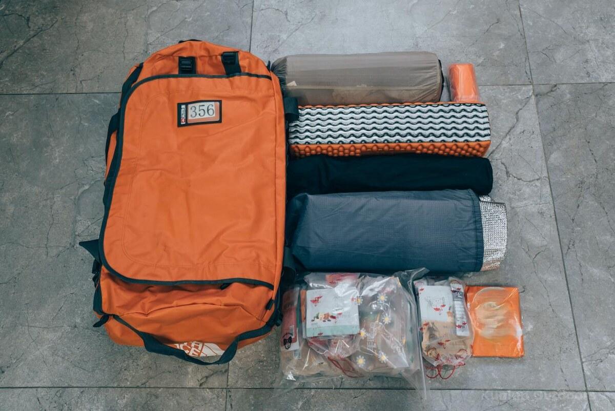
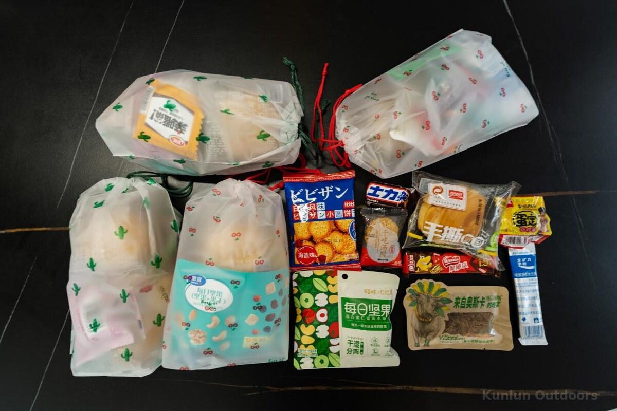
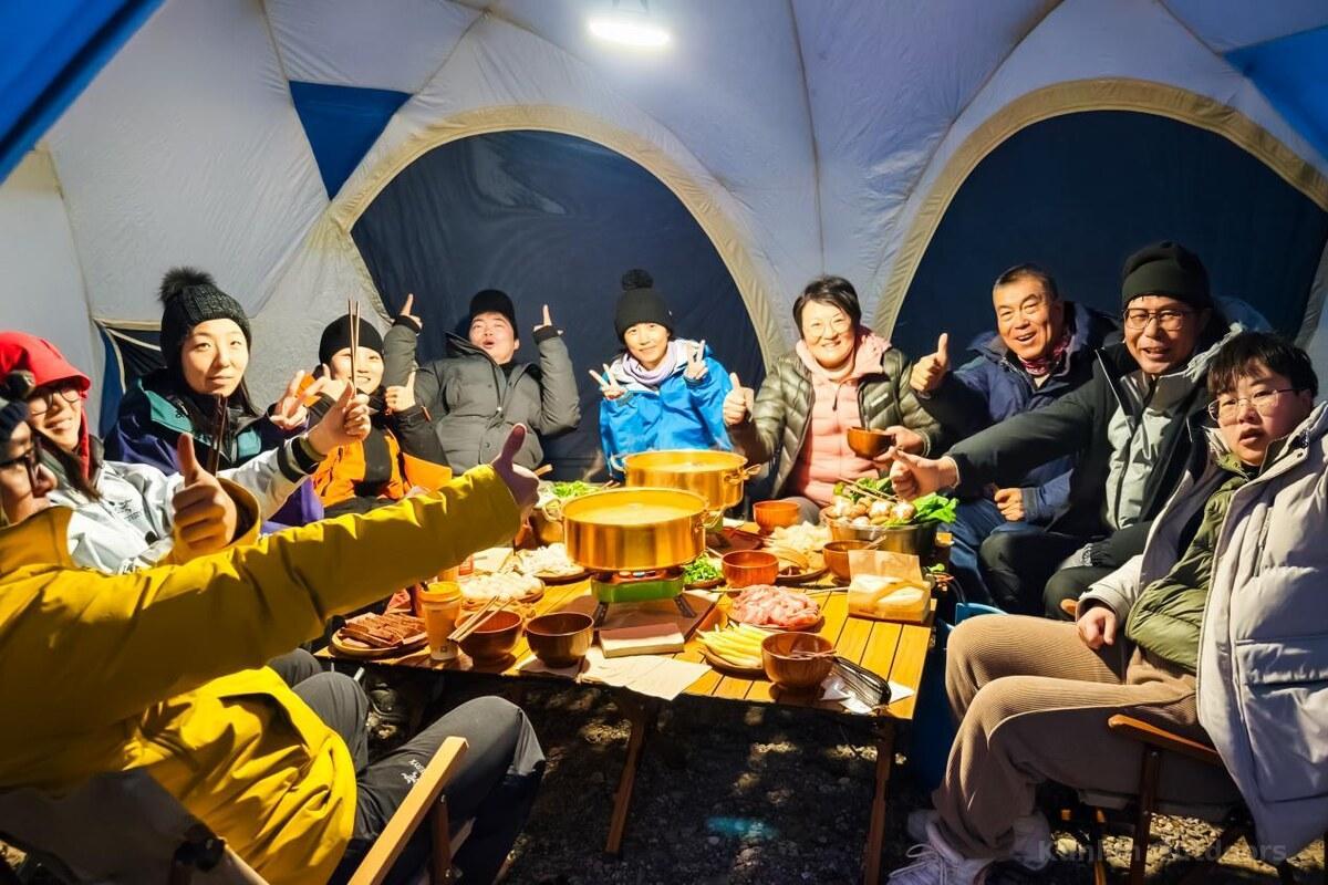
50L+ backpack, 25–30L daypack, down sleeping bag (-10°C+), waterproof hardshell (GTX recommended), softshell set, 2+ quick-dry sets (NO cotton), insulated mid-layer, mid/high-cut waterproof hiking boots, trekking poles, gaiters, headlamp, sun protection (SPF50+), insulated water bottle, waterproof bags, river crossing shoes. All camping gear and meals provided by the team.
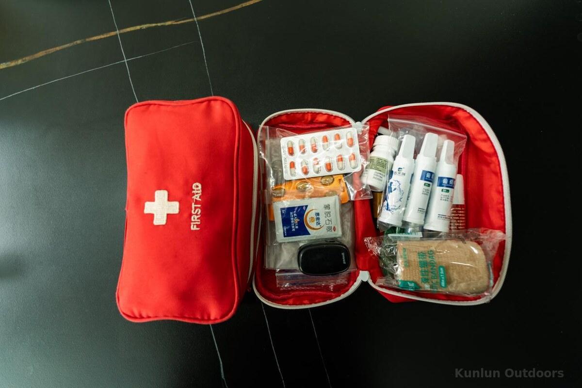
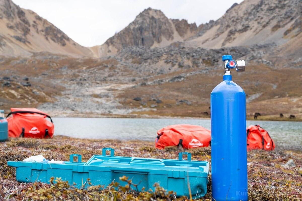
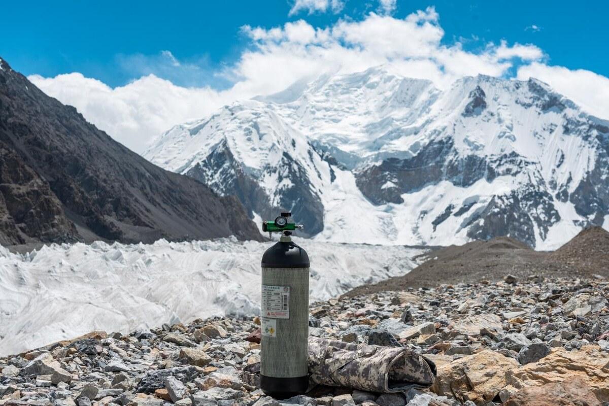
This trek operates at consistently high altitude (average 4,200m+). Acute mountain sickness is a real and serious risk. The team carries medical oxygen, satellite phone, and comprehensive first-aid. Daily blood oxygen and heart rate monitoring is conducted. Golden rule: Trust and follow the guide’s instructions absolutely. Report any symptoms (headache, nausea, dizziness, breathlessness) immediately. The guide has authority to evacuate any member at any time.
Respect Tibetan Buddhist beliefs: mountains and lakes are considered dwelling places of deities. Never pollute lake water. Circle mani piles clockwise. Do not share pork products with herders or mule teams. The ecosystem is extremely fragile — vegetation recovery is nearly impossible once damaged. All trash must be carried out. Photography of locals requires permission.
Mobile signal is absent for most of the trek. A satellite phone is carried for emergencies. Inform family/friends beforehand about limited connectivity. Bring sufficient RMB cash for途中 purchases. The primary transport is by vehicle; emergency transport uses horses or local tractors. Ensure your Chinese visa covers the full trip duration.
No reviews yet. Be the first to share your experience!