Trek Gallery
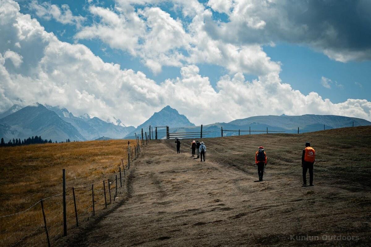
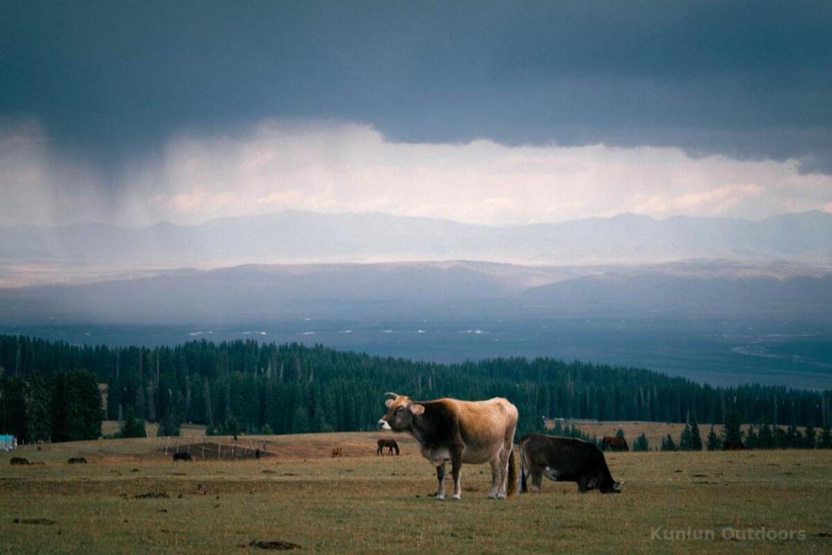
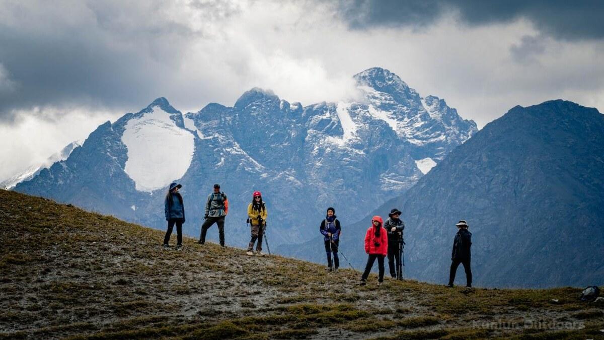
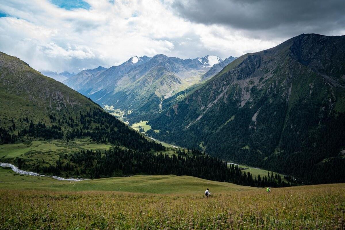

7 Days (6 days trekking)
4,100m (Aierment Pass)
Challenging (★★★★)
From $1,299 per person
~67 km
2,990m / 2,060m
4–12 people
June – August
The South Tianshan North Line is a high-difficulty, multi-day trekking route deep in the heart of the Tian Shan mountain range in Xinjiang, China. Located on the western side of the northern slopes of the South Tianshan range, near the Xia Ta scenic area, this trek is widely regarded by experienced hikers as the “ceiling” of Xinjiang’s trekking routes — combining extreme physical challenge with world-class alpine scenery.
Compared to the famous Wusun Ancient Road, the South Tianshan North Line reaches higher altitudes, traverses more complex terrain, and demands greater physical and mental endurance. This is not a traditional tourism route — it is a wilderness expedition path requiring thorough preparation and extensive experience. Over 6 days of trekking covering 67 km, you will experience an extraordinary diversity of landscapes: vast grasslands, ancient coniferous forests, dramatic river canyons, active glaciers, towering snow peaks, and pristine alpine lakes — all while immersing yourself in the nomadic culture of the Kazakh and Kyrgyz peoples who have roamed these mountains for millennia.
This route follows in the footsteps of the ancient Silk Road. More than 2,000 years ago, Princess Xijun and Princess Jieyou of the Han Dynasty traveled this corridor on their journey to the Wusun Kingdom. The Tang Dynasty monk Xuanzang narrowly survived crossing the “Ice Mountain” on his legendary pilgrimage to the West — believed to have occurred in this very region. Today, you walk among summer pastures where Kazakh and Kyrgyz herders continue their thousand-year tradition of seasonal transhumance, their yurts dotting emerald valleys beneath snow-capped giants.
Altitude: 650m | Trekking: None | Meals: Dinner included
Arrive in Yining City by flight or train. Attend the pre-trek briefing in the afternoon and enjoy a welcome dinner with the team. If time allows, stroll through the vibrant Kazanqi Old Town with its distinctive blue doors and windows, or visit Liuxing Street to hear accordion music and taste handmade ice cream. A perfect introduction to the ethnic mosaic of Xinjiang.
Altitude: 1,920m | Drive: ~270 km, ~5h | Trekking: 3–5 km (acclimatization) | Meals: B, L, D
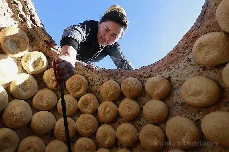
Leave Yining and drive through the expansive Ili River Valley. In the afternoon, a short acclimatization hike on alpine meadow with the first glimpses of distant snow peaks. Arrive at Jiasagan outdoor camp and attend an outdoor skills workshop. The cultural highlight: visit a local herder’s kitchen and learn to make traditional naan bread and fresh butter — an authentic immersion into nomadic life.
Altitude: 2,750m | Trekking: 9 km | Ascent: 830m | Meals: B, L, D
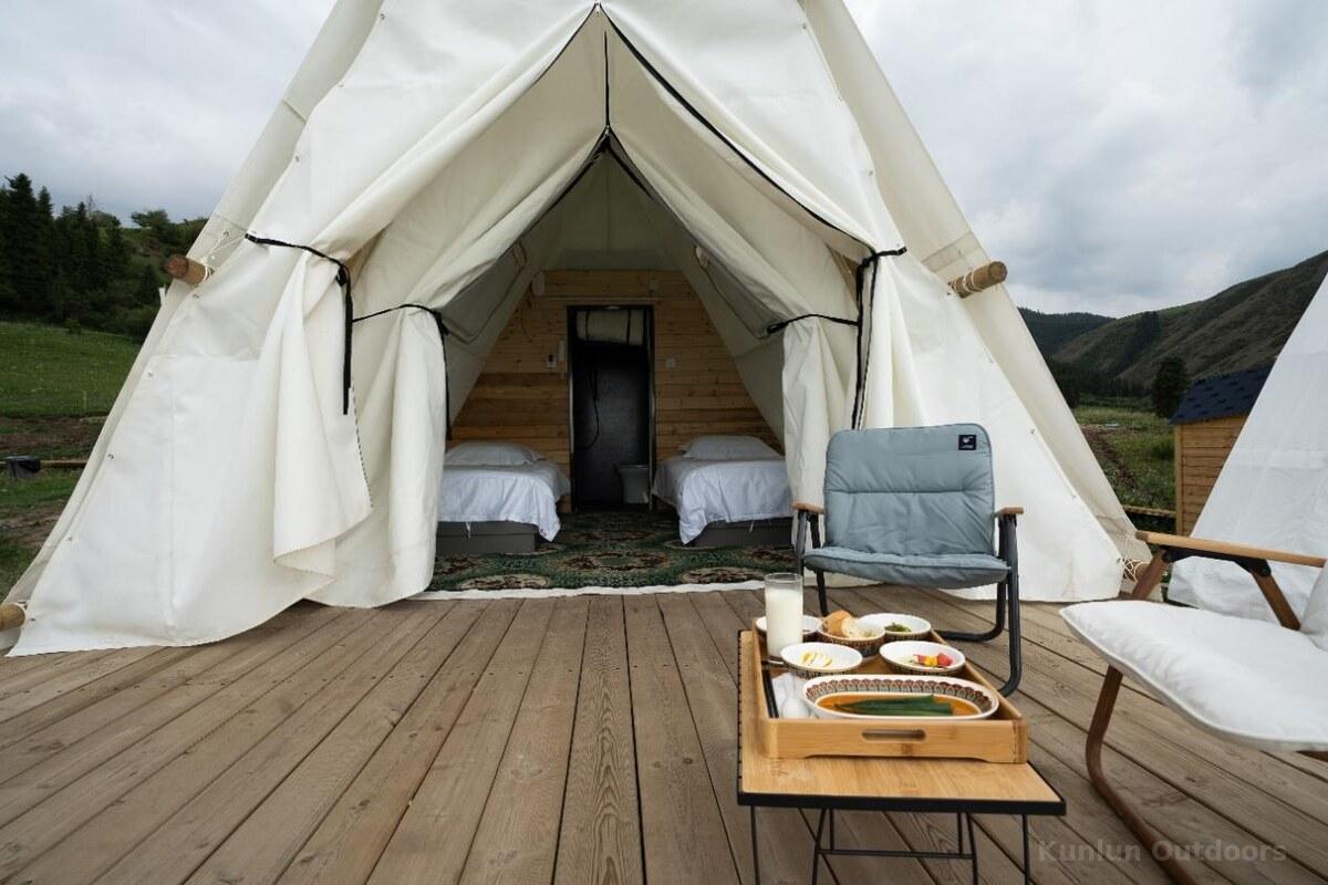
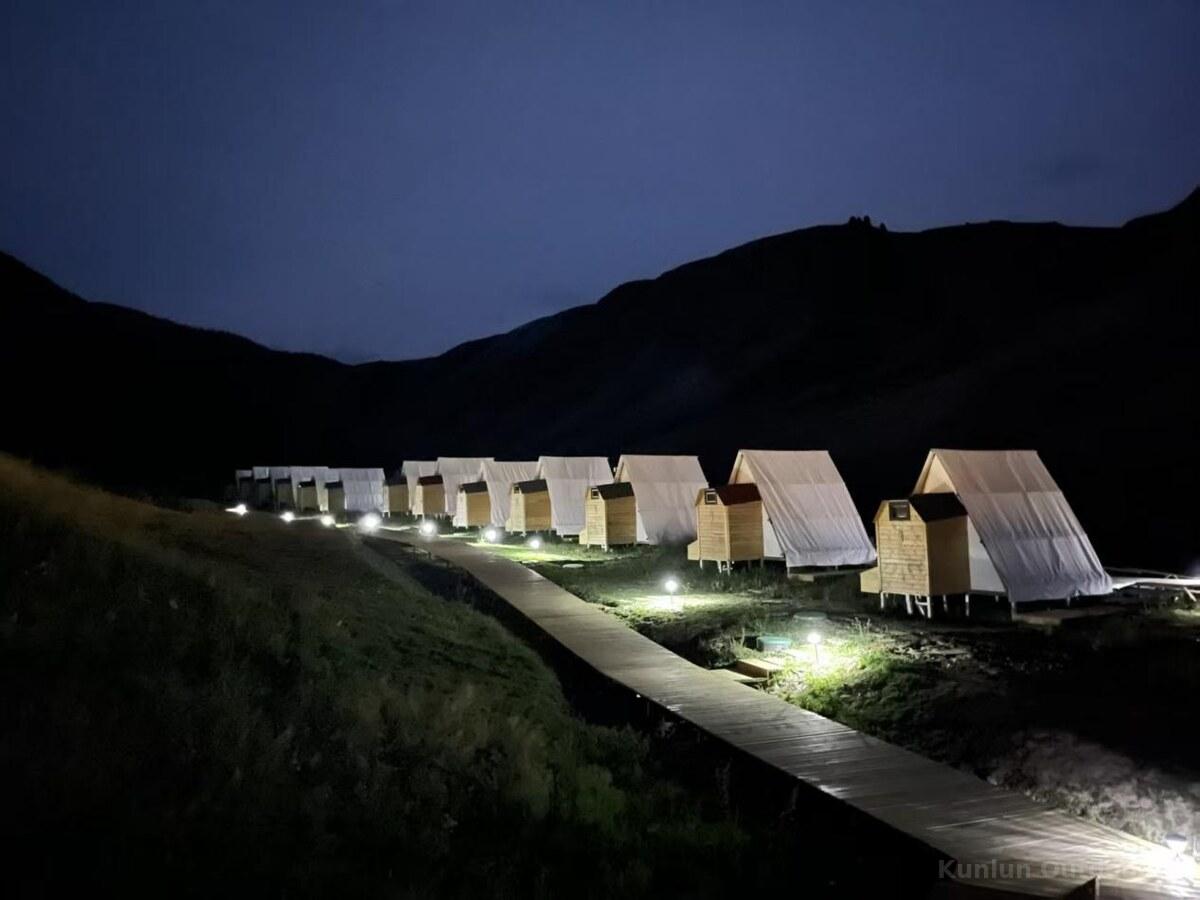
Follow a ridgeline trail with continuously ascending views. Looking back, pastoral landscapes unfold like a painting. The pace is steady and manageable — the priority is further altitude acclimatization. Reach camp below the 2996m pass as sunset gilds the mountain ridges. Cherish this last evening at a relatively low altitude before the challenging days ahead.
Altitude: 2,750m → 3,560m → 2,800m | Trekking: 14 km | Ascent: 810m / Descent: 760m | Meals: B, L, D
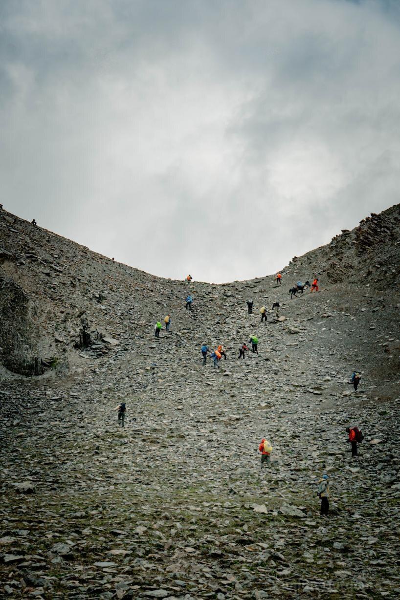
The first major challenge: consecutively crossing two passes at 2,996m and 3,560m. From the summit of Malarte Pass, the vastness of the South Tianshan unfolds — and on a clear day, you may glimpse the snow-capped Khan Tengri peak far in the distance. A long descent leads into the Erdingtu River Valley, where the soothing sound of flowing water welcomes you to Saohute Camp.
Altitude: 2,800m → 2,930m | Trekking: 16 km | Ascent: 200m / Descent: 100m | Meals: B, L, D
Follow the winding Erdingtu River through a breathtaking pastoral landscape. Emerald waters, endless pastures, and wisps of smoke from herder tents compose a quintessential Tian Shan valley scene. Along the way, you may encounter Kazakh herders — perhaps sharing a bowl of fresh yogurt and experiencing their renowned hospitality. The 16 km is gently undulating, perfect for soaking in the valley’s play of light and shadow. Tonight’s camp at 2,930m offers spectacular starry skies.
Altitude: 2,930m → 3,650m | Trekking: 9 km | Ascent: 750m | Meals: B, L, D
Enter the trek’s highlight section. Altitude climbs steadily to 3,650m as the landscape transforms from meadow to dramatic glacial erosion terrain. Arrive at the Glacier Twin Lakes Camp — a breathtaking scene of floating ice on deep blue lakes, perfectly reflecting snow peaks. This is a photographer’s dream. At night, zipped into your sleeping bag, listen to the gentle crack of glacial ice — an experience of极致 silence and vastness unique to the Tian Shan.
Altitude: 3,650m → 4,100m → 650m | Trekking: 14 km | Ascent: 400m / Descent: 1,200m | Drive: ~300 km, ~6h | Meals: B, L, D
The grand finale: a brief morning glacier exploration for final photos, then the ultimate challenge — the Aierment Pass at 4,100m, the trek’s highest point. After conquering the pass, descend steadily through increasingly lush landscapes back to the roadhead. Transfer to Yining for a celebration dinner, reflecting on seven days of extraordinary mountain adventure. The journey concludes with memories that will last a lifetime.
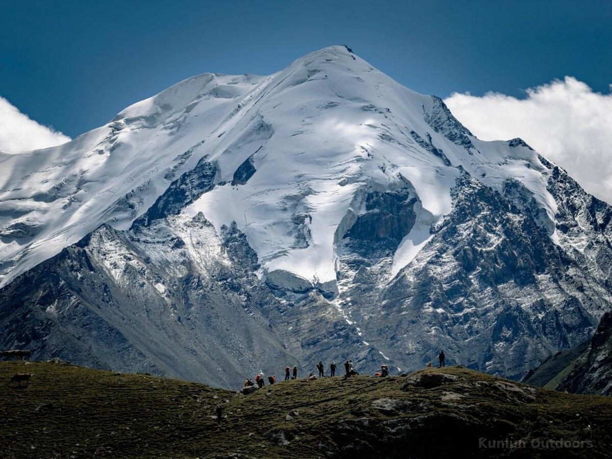
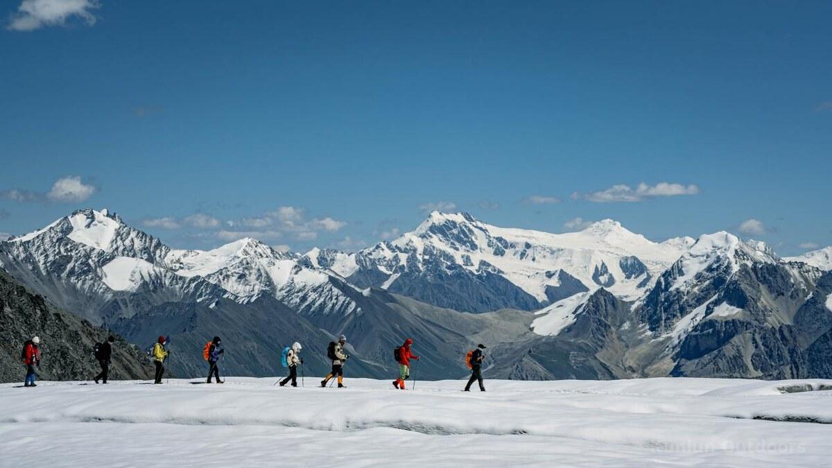
Walk alongside living glaciers, observing blue-green ice bodies, deep crevasses, and hanging icefalls up close. The Glacier Twin Lakes at 3,650m — with floating ice reflecting snow peaks — are the visual crown jewel of the trek.
From late June to mid-July, the vast alpine meadows transform into a spectacular sea of golden globeflowers and wildflowers, set against snow-capped peaks and dark coniferous forests — a painter’s palette at full intensity.
Experience the living tradition of seasonal transhumance. Encounter herder families in their summer pastures, taste fresh yogurt in their yurts, and learn to make traditional naan bread — a cultural immersion into Central Asian nomadic life.
Trek through the legendary Xia Ta Ancient Road — a perilous mountain pass of the Silk Road traversed by Han Dynasty princesses and the Tang Dynasty monk Xuanzang. You walk the same corridor that connected civilizations for over 2,000 years.
Consecutively cross four dramatic passes above 3,000m — each offering progressively grander panoramas. The final Aierment Pass at 4,100m is a moment of supreme achievement, with views stretching to the distant Khan Tengri range.
Trek through ancient Schrenk spruce forests — a Tian Shan endemic species creating cathedral-like corridors of towering conifers draped in old-man’s-beard lichen. The valley pastures and river scenes provide a serene counterpoint to the rugged passes.
The optimal trekking window is late June to mid-July. Snow on high passes has mostly melted, and the alpine meadows are in full bloom — the most beautiful time. Before late June, deep snow on passes increases difficulty and risk. After August, the flower season ends and increased glacial melt may enlarge crevasses.
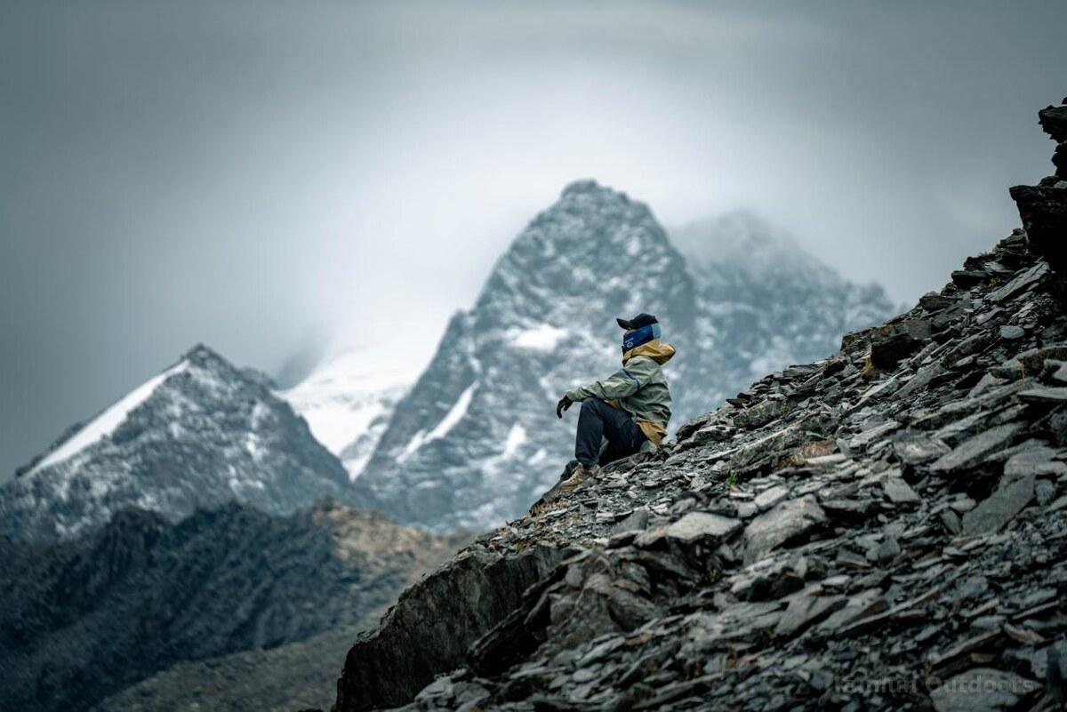
High fitness level required. The trek involves 6 consecutive days of hiking (5–8 hours/day) over varied and sometimes steep terrain, with cumulative elevation gain of nearly 3,000m. Prior multi-day trekking experience is essential. You should be comfortable with long descents on unstable scree and sustained ascents at altitude. The route is classified as ★★★★ difficulty — significantly harder than the popular Wusun Ancient Road.
50L+ backpack (for gear transport in provided waterproof duffel), 25–30L daypack, down sleeping bag (rated to -10°C or colder), waterproof hardshell (GTX recommended), softshell layer, 2 sets of quick-dry clothing (NO cotton), mid/high-cut waterproof hiking boots, trekking poles, gaiters + crampons (after September), headlamp, insulated water bottle (700ml–1L), sun protection (SPF50+), waterproof bags, river crossing shoes.
The team carries medical oxygen, a satellite phone, pulse oximeter, and comprehensive first-aid kit. The guide monitors health daily. The route reaches altitudes where altitude sickness is a real concern. Honest communication about how you feel is critical. The guide has authority to evacuate any member at any time for safety.
“Four seasons in one day” is not an exaggeration in the Tian Shan. Even in summer, you may experience intense sun, strong winds, rain, hail, and even snow — all within a single day above 3,000m. UV radiation is extreme. Nighttime temperatures at camp can drop below freezing. Be prepared for rapid weather changes at all times.
Yining City (also called Ghulja) in Xinjiang’s Ili Prefecture is the gateway. Flights are available from Urumqi (~1.5h). Allow at least one day before the trek start to adjust to the time zone (Xinjiang officially uses Beijing time but operates ~2 hours behind in practice).
No reviews yet. Be the first to share your experience!